

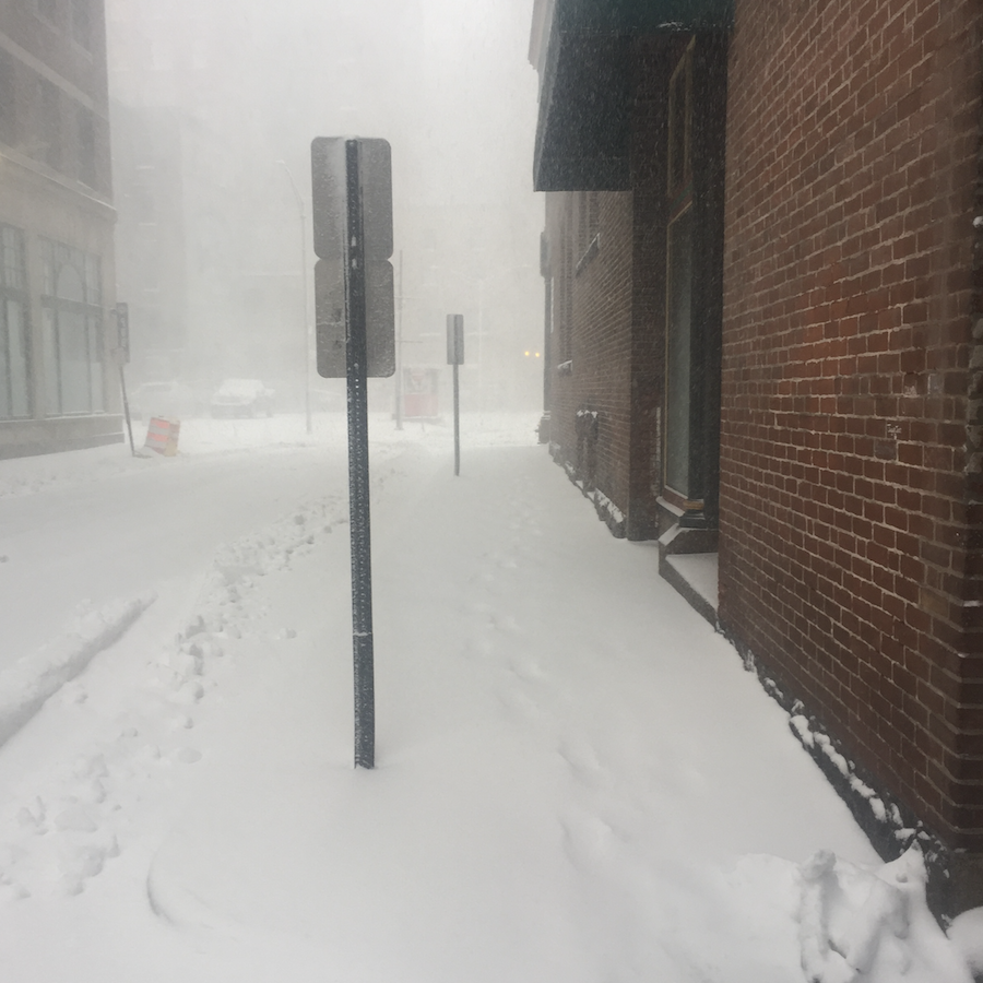
Friday Night Snow and Potential for More This Weekend - NWS
GoLocalProv News Team
Friday Night Snow and Potential for More This Weekend - NWS
Today
Increasing clouds, with a high near 24. North wind 5 to 9 mph becoming light northeast in the afternoon.
Friday Night
Snow, mainly after 11 pm. Low around 18. Calm wind becoming north 5 to 7 mph after midnight. The chance of precipitation is 80%. New snow accumulation of 1 to 3 inches possible.
Saturday
A chance of snow, mainly before 10 am. Cloudy through mid-morning, then gradual clearing, with a high near 29. North wind 6 to 10 mph. The chance of precipitation is 50%. New snow accumulation of less than a half inch is possible.
Saturday Night
Mostly clear, with a low around 15. Light northwest wind.
Sunday
Partly sunny, with a high near 38. Calm wind becoming west around 6 mph in the afternoon.
Sunday Night
A chance of rain or freezing rain before 7 pm, then freezing rain likely between 7 pm and 1 am, then rain after 1 am. Low around 28. Calm wind becoming south around 5 mph after midnight. The chance of precipitation is 90%.
Monday
Rain. High near 47. Southwest wind 6 to 10 mph, with gusts as high as 20 mph. The chance of precipitation is 90%.
Monday Night
Rain likely, mainly before 8 pm. Partly cloudy, with a low around 25. West wind 9 to 13 mph. The chance of precipitation is 60%.