

Heat Advisory Issued for Thursday and Friday — Heat Index Values of 100 to 104 Expected
GoLocalProv News Team
Heat Advisory Issued for Thursday and Friday — Heat Index Values of 100 to 104 Expected
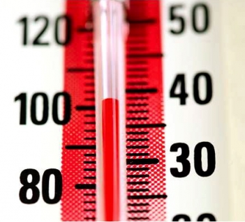
Heat index values of 100 to 104 are expected.
URGENT - WEATHER MESSAGE
National Weather Service Boston/Norton MA
226 PM EDT Tue Aug 2 2022
CTZ002>004-MAZ002>021-026-RIZ001>007-030730-
/O.NEW.KBOX.HT.Y.0005.220804T1500Z-220806T0000Z/
Hartford CT-Tolland CT-Windham CT-Western Franklin MA-
Eastern Franklin MA-Northern Worcester MA-Central Middlesex MA-
Western Essex MA-Eastern Essex MA-Western Hampshire MA-
Western Hampden MA-Eastern Hampshire MA-Eastern Hampden MA-
Southern Worcester MA-Western Norfolk MA-Southeast Middlesex MA-
Suffolk MA-Eastern Norfolk MA-Northern Bristol MA-
Western Plymouth MA-Eastern Plymouth MA-Southern Bristol MA-
Southern Plymouth MA-Northern Middlesex MA-
Northwest Providence RI-Southeast Providence RI-Western Kent RI-
Eastern Kent RI-Bristol RI-Washington RI-Newport RI-
Including the cities of Hartford, Windsor Locks, Union, Vernon,
Putnam, Willimantic, Charlemont, Greenfield, Orange, Barre,
Fitchburg, Framingham, Lowell, Lawrence, Gloucester,
Chesterfield, Blandford, Amherst, Northampton, Springfield,
Milford, Worcester, Foxborough, Norwood, Cambridge, Boston,
Quincy, Taunton, Brockton, Plymouth, Fall River, New Bedford,
Mattapoisett, Ayer, Foster, Smithfield, Providence, Coventry,
West Greenwich, East Greenwich, Warwick, West Warwick, Bristol,
Narragansett, Westerly, and Newport
226 PM EDT Tue Aug 2 2022
...HEAT ADVISORY IN EFFECT FROM 11 AM THURSDAY TO 8 PM EDT
FRIDAY...
* WHAT...Heat index values of 100 to 104 degrees expected on both
Thursday and Friday afternoons.
* WHERE...All of southern New England except for the Cape and
Islands.
* WHEN...From 11 AM Thursday to 8 PM EDT Friday.
* IMPACTS...Hot temperatures and high humidity may cause heat
illnesses to occur.
* ADDITIONAL DETAILS...Heat Indices are expected to rise to
between 100 and 104 degrees on both Thursday and Friday
afternoons.
PRECAUTIONARY/PREPAREDNESS ACTIONS...
Drink plenty of fluids, stay in an air-conditioned room, stay out
of the sun, and check up on relatives and neighbors. Young
children and pets should never be left unattended in vehicles
under any circumstances.
Take extra precautions if you work or spend time outside. When
possible reschedule strenuous activities to early morning or
evening. Know the signs and symptoms of heat exhaustion and heat
stroke. Wear lightweight and loose fitting clothing when
possible. To reduce risk during outdoor work, the Occupational
Safety and Health Administration recommends scheduling frequent
rest breaks in shaded or air conditioned environments. Anyone
overcome by heat should be moved to a cool and shaded location.
Heat stroke is an emergency! Call 9 1 1.
For more information from the National Weather Service visit
https://weather.gov/box