Potential for Strong to Damaging Winds in RI on Monday -- Snow Possible Wednesday
GoLocalProv News Team
Potential for Strong to Damaging Winds in RI on Monday -- Snow Possible Wednesday

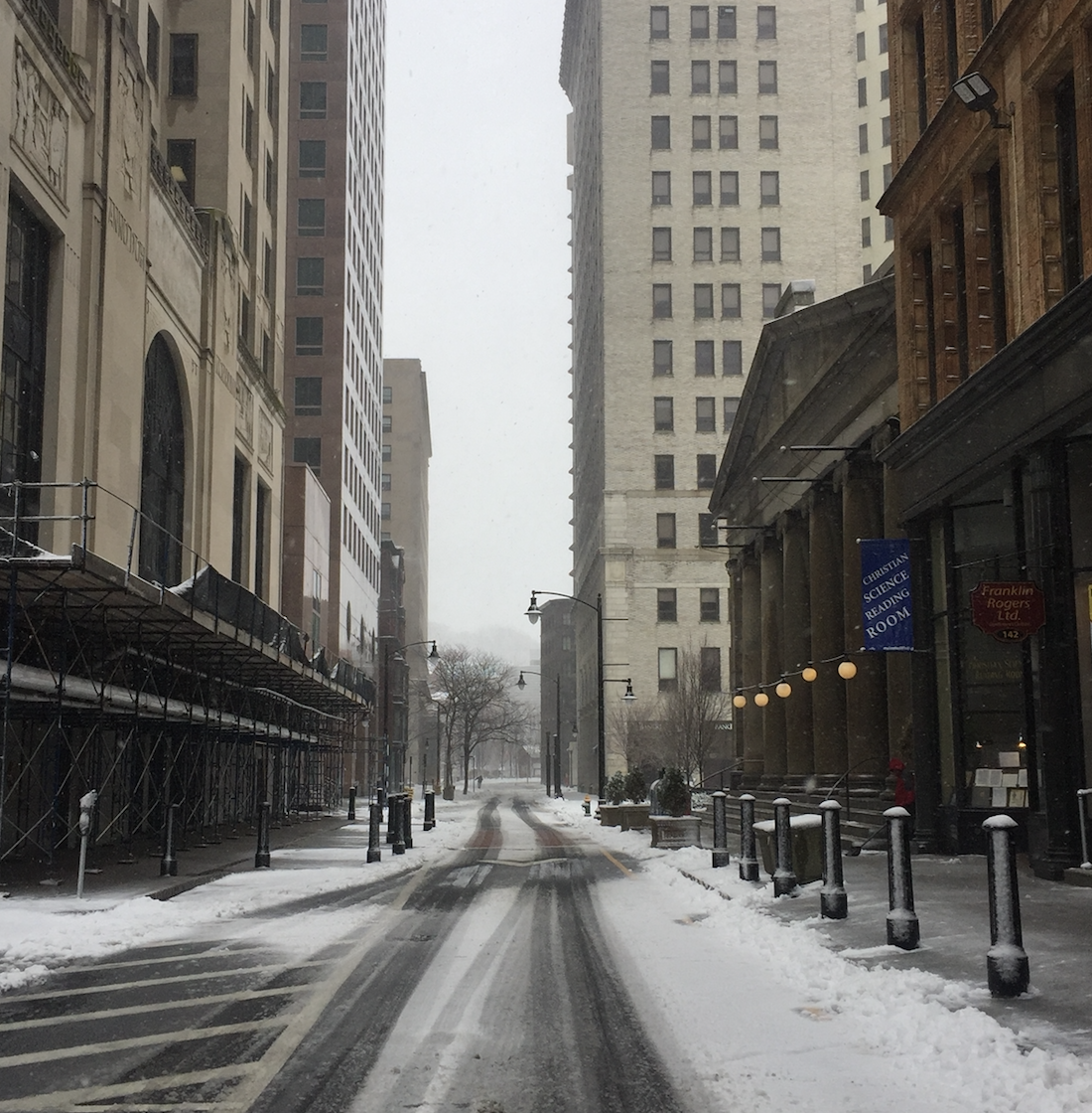
Moreover, NWS is warning there is "potential for accumulating snow across parts of the region Wednesday into Wednesday night."
On Sunday, NWS issued the following Hazardous Weather Outlook for parts of Rhode Island and southern New England.
GET THE LATEST BREAKING NEWS HERE -- SIGN UP FOR GOLOCAL FREE DAILY EBLASTHazardous Weather Outlook
National Weather Service Boston/Norton MA
504 AM EST Sun Dec 5 2021
CTZ002>004-MAZ002>024-026-RIZ001>008-061015-Hartford CT-Tolland CT-Windham CT-Western Franklin MA-Eastern Franklin MA-Northern Worcester MA-Central Middlesex MA-Western Essex MA-Eastern Essex MA-Western Hampshire MA-Western Hampden MA-Eastern Hampshire MA-Eastern Hampden MA-Southern Worcester MA-Western Norfolk MA-Southeast Middlesex MA-Suffolk MA-Eastern Norfolk MA-Northern Bristol MA-Western Plymouth MA-Eastern Plymouth MA-Southern Bristol MA-Southern Plymouth MA-Barnstable MA-Dukes MA-Nantucket MA-Northern Middlesex MA-Northwest Providence RI-Southeast Providence RI-Western Kent RI-Eastern Kent RI-Bristol RI-Washington RI-Newport RI-Block Island RI-
504 AM EST Sun Dec 5 2021
This Hazardous Weather Outlook is for northern Connecticut, all of Massachusetts east of Berkshire County, and Rhode Island.
.DAY ONE...Today and tonight.
Hazardous weather is not expected at this time.
.DAYS TWO THROUGH SEVEN...Monday through Saturday.
The potential exists for a period of strong to perhaps damaging wind gusts along with a few convective showers Monday into Monday evening.
There is also the potential for accumulating snow across parts of the region Wednesday into Wednesday night, especially interior southern New England. However, uncertainty remains on where the
rain/snow line sets up along with the axis of heaviest precipitation.

