

Potential Now for 3-6” of Snow on Sunday
GoLocalProv News Team
Potential Now for 3-6” of Snow on Sunday
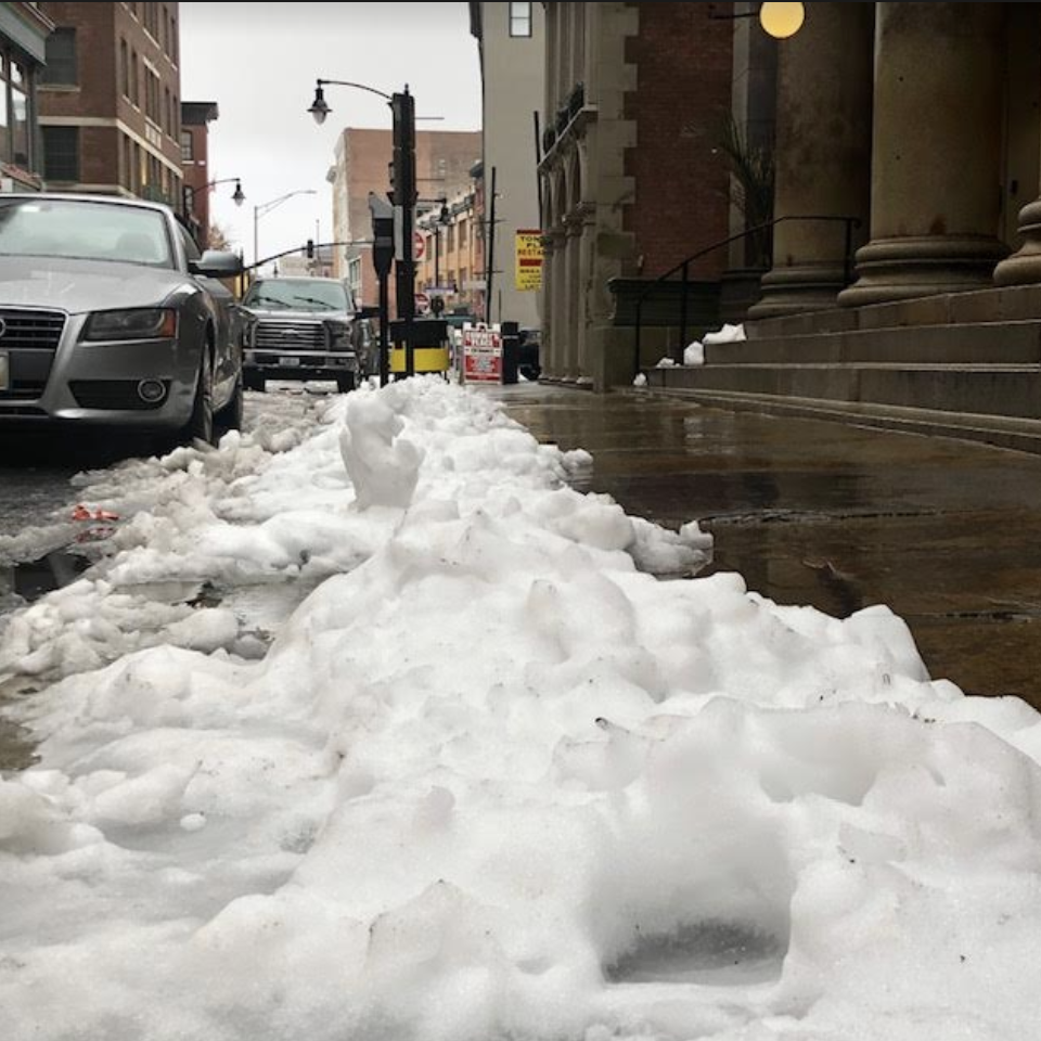
NWS is predicting the potential for snow accumulation to be three to six inches.
Winter Weather Advisory
URGENT - WINTER WEATHER MESSAGE
National Weather Service Boston/Norton MA
647 AM EST Sun Feb 13 2022
CTZ003-004-MAZ013-016>024-RIZ001>008-132000-/O.CON.KBOX.WW.Y.0011.220213T1200Z-220214T1100Z/
Tolland CT-Windham CT-Western Norfolk MA-Eastern Norfolk MA-Northern Bristol MA-Western Plymouth MA-Eastern Plymouth MA-Southern Bristol MA-Southern Plymouth MA-Barnstable MA-Dukes MA-Nantucket MA-Northwest Providence RI-Southeast Providence RI-Western Kent RI-Eastern Kent RI-Bristol RI-Washington RI-Newport RI-Block Island RI-
Including the cities of Union, Vernon, Putnam, Willimantic, Foxborough, Norwood, Quincy, Taunton, Brockton, Plymouth, Fall River, New Bedford, Mattapoisett, Chatham, Falmouth, Provincetown, Vineyard Haven, Nantucket, Foster, Smithfield, Providence, Coventry, West Greenwich, East Greenwich, Warwick, West Warwick, Bristol, Narragansett, Westerly, Newport,and New Shoreham
647 AM EST Sun Feb 13 2022
...WINTER WEATHER ADVISORY REMAINS IN EFFECT UNTIL 6 AM EST
MONDAY...
* WHAT...Snow expected. Total snow accumulations of 3 to 6
inches.
* WHERE...Portions of northern Connecticut, eastern and
southeastern Massachusetts and Rhode Island.
* WHEN...Until 6 AM EST Monday.
* IMPACTS...Plan on slippery road conditions.
PRECAUTIONARY/PREPAREDNESS ACTIONS...
Slow down and use caution while traveling.
The latest road conditions for the state you are calling from can
be obtained by calling 5 1 1.