

UPDATED: Potential of Snow Hitting Rhode Island This Week - NWS
GoLocalProv
UPDATED: Potential of Snow Hitting Rhode Island This Week - NWS
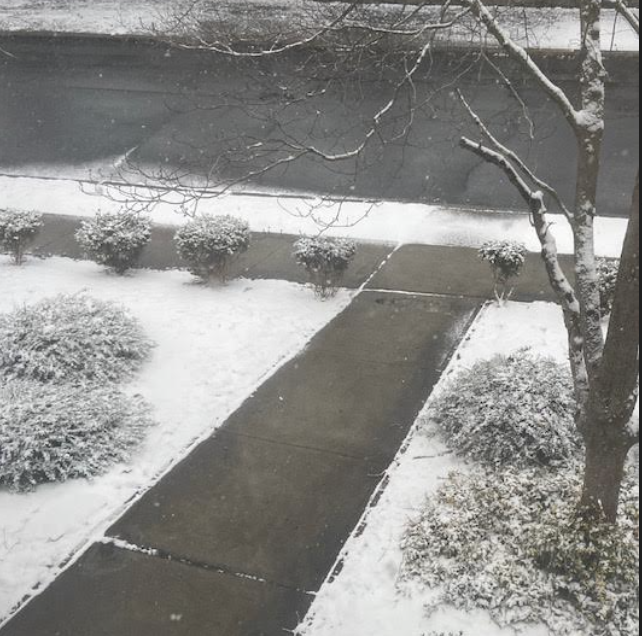
Little accumulation is expected.
GET THE LATEST BREAKING NEWS HERE -- SIGN UP FOR GOLOCAL FREE DAILY EBLAST
Monday
Sunny, with a high near 42. Northwest wind 7 to 13 mph.
Monday Night
Increasing clouds, with a low around 24. Calm wind.
Tuesday
A chance of snow before 9 am, then a chance of rain and snow between 9 am and 10 am, then rain after 10 am, high near 42. Calm wind becoming east around 6 mph in the afternoon. The chance of precipitation is 90%. New snow accumulation of less than a half inch is possible.
Tuesday Night
Rain and snow before 2 am, then a chance of snow. Low around 26. Northwest wind 6 to 9 mph. The chance of precipitation is 80%. New snow accumulation of less than a half inch is possible.
Wednesday
Sunny, with a high near 38. Northwest wind 5 to 8 mph.
Wednesday Night
Mostly cloudy, with a low around 27. Calm wind becoming southwest around 6 mph after midnight.
Thursday
Partly sunny, with a high near 42. Southwest wind 7 to 13 mph, with gusts as high as 23 mph.
Thursday Night
Mostly clear, with a low around 14. Northwest wind 7 to 10 mph, with gusts as high as 20 mph.
Friday
Mostly sunny, with a high near 30. Northwest wind 6 to 8 mph.
Friday Night
A chance of snow. Mostly cloudy, with a low around 21. Light west wind. The chance of precipitation is 40%.
Saturday
A chance of rain and snow. Mostly cloudy, with a high near 36. North wind 3 to 7 mph. The chance of precipitation is 50%.