

Sleet, Ice, Hazardous Conditions Predicted for Friday - National Weather Service Issues Advisory
GoLocalProv News Team
Sleet, Ice, Hazardous Conditions Predicted for Friday - National Weather Service Issues Advisory
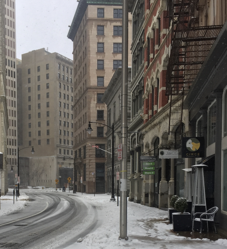
Sleet, ice, and "slippery road conditions" are in the forecast starting at 6 AM.
Winter Weather Advisory
URGENT - WINTER WEATHER MESSAGE
National Weather Service Boston/Norton MA
244 AM EST Thu Feb 3 2022
CTZ002>004-MAZ017>019-RIZ001>004-032045-
/O.NEW.KBOX.WW.Y.0009.220204T1100Z-220205T0000Z/
Hartford CT-Tolland CT-Windham CT-Northern Bristol MA-
Western Plymouth MA-Eastern Plymouth MA-Northwest Providence RI-
Southeast Providence RI-Western Kent RI-Eastern Kent RI-
Including the cities of Hartford, Windsor Locks, Union, Vernon,
Putnam, Willimantic, Taunton, Brockton, Plymouth, Foster,
Smithfield, Providence, Coventry, West Greenwich, East Greenwich,
Warwick, and West Warwick
244 AM EST Thu Feb 3 2022
...WINTER WEATHER ADVISORY IN EFFECT FROM 6 AM TO 7 PM EST
FRIDAY...
* WHAT...Mixed precipitation expected. Total sleet accumulations
of up to one inch and ice accumulations of around one tenth of
an inch.
* WHERE...Portions of northern Connecticut, southeastern
Massachusetts and northern Rhode Island.
* WHEN...From 6 AM to 7 PM EST Friday.
* IMPACTS...Plan on slippery road conditions. The hazardous
conditions could impact the evening commute and possibly the
morning commute in the Connecticut valley.
* ADDITIONAL DETAILS...Rain will change to freezing rain and sleet
Friday morning with a flash freeze as temperatures fall into the
upper 20s. The precipitation may end as a period of light snow
late Friday.
PRECAUTIONARY/PREPAREDNESS ACTIONS...
Slow down and use caution while traveling.