

SUNDAY AM UPDATE: National Weather Service Increases Forecast for Snowfall
GoLocalProv News Team
SUNDAY AM UPDATE: National Weather Service Increases Forecast for Snowfall
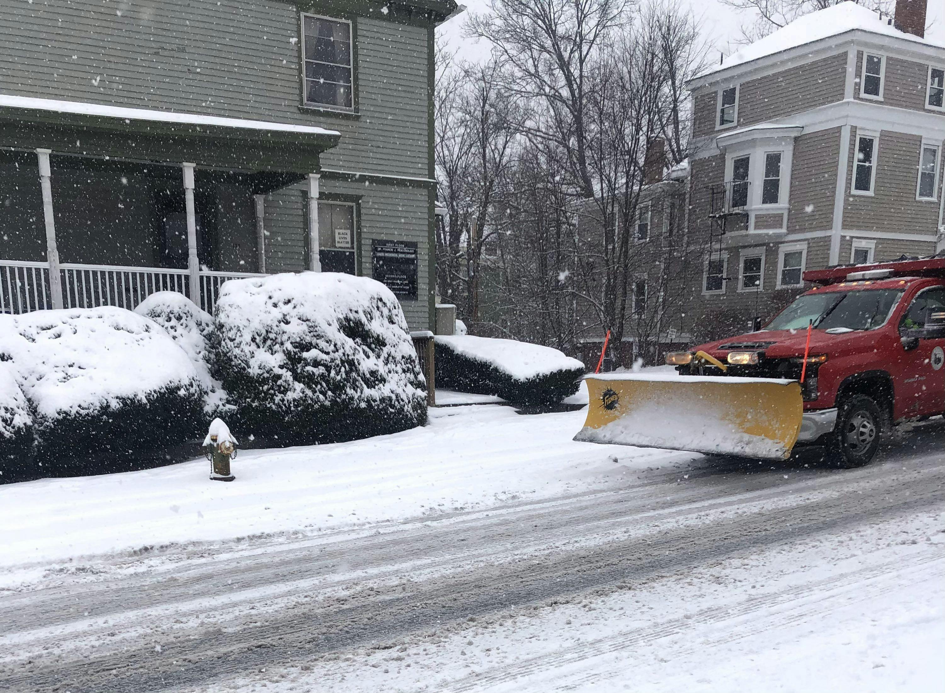
The storm is expected to hit the area late on Sunday morning and continue into Monday night. Blistering cold temperatures are expected for days.
GET THE LATEST BREAKING NEWS HERE -- SIGN UP FOR GOLOCAL FREE DAILY EBLAST
Sunday
Snow, mainly after 11 am. The snow could be heavy at times. High near 29. Calm wind becoming northeast 5 to 7 mph in the afternoon. The chance of precipitation is 100%. Total daytime snow accumulation of 8 to 12 inches is possible.
Sunday Night
Snow before 2 am, then a chance of snow and sleet. The snow could be heavy at times. Low around 20. Northeast wind 7 to 10 mph, with gusts as high as 21 mph. The chance of precipitation is 100%. New snow and sleet accumulation of 5 to 9 inches possible.
Monday
Snow likely, mainly after 7 am. Cloudy, with a high near 30. North wind around 9 mph. The chance of precipitation is 70%. New snow accumulation of less than one inch is possible.
Monday Night
A chance of snow, mainly before 10 pm. Mostly cloudy, then gradually becoming mostly clear, with a low around 9. Wind chill values as low as -3. West wind 7 to 9 mph. The chance of precipitation is 50%. New snow accumulation of less than a half inch is possible.
Tuesday
Mostly sunny, with a high near 22. West wind 7 to 9 mph.
Tuesday Night
Partly cloudy, with a low around 5. West wind around 6 mph.
Wednesday
Sunny, with a high near 23. West wind 6 to 8 mph.
Wednesday Night
Mostly cloudy, with a low around 7. Light west wind.