

Hazardous Weather Outlook Issued By National Weather Service -- Up to 4 Inches
GoLocalProv News Team
Hazardous Weather Outlook Issued By National Weather Service -- Up to 4 Inches
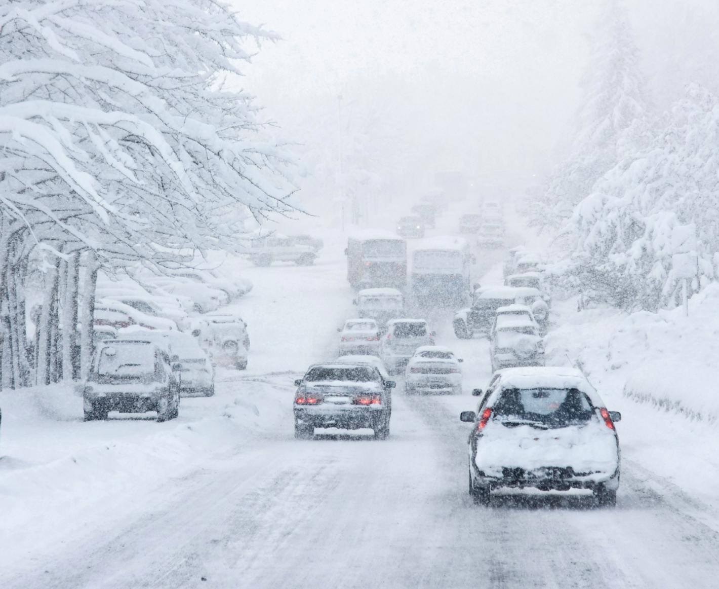
According to NWS, total accumulation in the Providence area is forecast to be upward of 4 inches. And, the NWS warns that morning travel time on Wednesday could be difficult.
GET THE LATEST BREAKING NEWS HERE -- SIGN UP FOR GOLOCAL FREE DAILY EBLAST
Tonight
Rain likely before 1 am, then sleet between 1 am and 2 am, then snow after 2 am. Patchy fog before 2 am, then patchy fog after 3 am. Low around 32. Northwest wind 5 to 8 mph. Chance of precipitation is 80%. New snow and sleet accumulation of around an inch possible.
Wednesday
Snow, mainly before 11 am. Patchy fog between 11 am and 1 pm. Patchy freezing fog between 10 am and 11 am. High near 34. Northwest wind around 5 mph becoming light and variable. Chance of precipitation is 100%. New snow accumulation of 1 to 3 inches possible.
Wednesday Night
Mostly clear, with a low around 21. Southwest wind 6 to 9 mph becoming northwest after midnight.
ADDITIONAL DETAILS...Rain changes to snow from northwest to southeast between 10 pm tonight and 4 am Wednesday, but that process may not happen until near daybreak across portions of the Cape. The biggest concern is the Wednesday morning commute, especially across Rhode Island and southeast Massachusetts.
URGENT - WINTER WEATHER MESSAGE
National Weather Service Boston/Norton MA
335 AM EST Tue Dec 10 2019
CTZ002>004-MAZ012-013-015>022-RIZ001>007-101645-
/O.NEW.KBOX.WW.Y.0026.191211T0300Z-191211T1700Z/
Hartford CT-Tolland CT-Windham CT-Southern Worcester MA-
Western Norfolk MA-Suffolk MA-Eastern Norfolk MA-
Northern Bristol MA-Western Plymouth MA-Eastern Plymouth MA-
Southern Bristol MA-Southern Plymouth MA-Barnstable MA-
Northwest Providence RI-Southeast Providence RI-Western Kent RI-
Eastern Kent RI-Bristol RI-Washington RI-Newport RI-
Including the cities of Hartford, Windsor Locks, Union, Vernon,
Putnam, Willimantic, Milford, Worcester, Foxborough, Norwood,
Boston, Quincy, Taunton, Brockton, Plymouth, Fall River,
New Bedford, Mattapoisett, Chatham, Falmouth, Provincetown,
Foster, Smithfield, Providence, Coventry, West Greenwich,
East Greenwich, Warwick, West Warwick, Bristol, Narragansett,
Westerly, and Newport
335 AM EST Tue Dec 10 2019
...WINTER WEATHER ADVISORY IN EFFECT FROM 10 PM THIS EVENING TO
NOON EST WEDNESDAY...
* WHAT...Snow expected. Total snow accumulations of 1 to 4
inches.
* WHERE...Portions of northern Connecticut, south central and
portions of eastern Massachusetts as well as Rhode Island.
* WHEN...From 10 PM this evening to noon EST Wednesday.
* IMPACTS...Plan on slippery road conditions for the Wednesday
morning commute. Snow may be falling moderate to heavily across
Rhode Island and southeast MA during the Wednesday morning
commute, resulting in hazardous travel.
PRECAUTIONARY/PREPAREDNESS ACTIONS...
Slow down and use caution while traveling.