

Hurricane Irene ... Sunday Morning Update
John Ghiorse, GoLocalProv Meteorologist
Hurricane Irene ... Sunday Morning Update
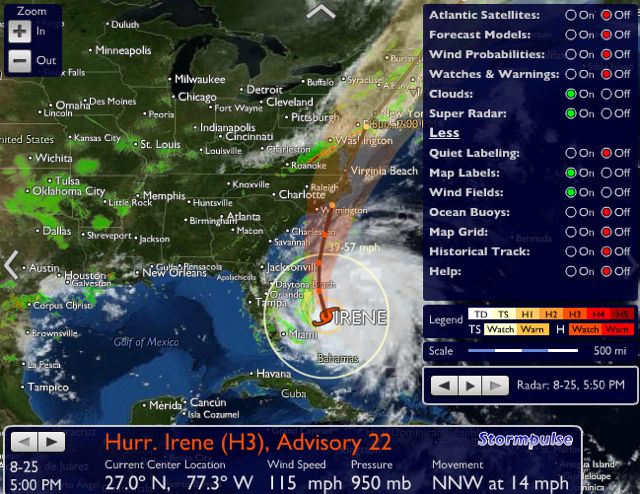
While Irene is no longer the devastating storm that it was a few days ago, it still poses many dangers for us here in Southern New England. Do not be lulled into complacency by the fact that Irene is “only” a Category 1 storm this morning centered near Atlantic City, New Jersey. That position is about 225 miles southwest of Providence. Peak winds are sustained at 75 mph with gusts of 80-100 mph, especially east of the storm center. Irene is moving north-northeast at 18 mph and the center will move over Long Island and into Connecticut this afternoon. However, Irene is such a large storm that strong winds and large waves extend several hundred miles to the east of the center.
Our greatest danger will come from the wind and coastal battering. Winds should gust to near or slightly over hurricane force in squalls anytime from late this morning through this afternoon. Tides are high around 8 this morning and 8 this evening, These tides combined with a storm surge of 3-5 feet topped off by very large waves will bring coastal and Bay flooding. There is also the possibility of a few small tornadoes embedded in Irene’s circulation especially over southern Rhode Island. Rainfall will total 2-6 inches with much higher amounts to our west.
GET THE LATEST BREAKING NEWS HERE -- SIGN UP FOR GOLOCAL FREE DAILY EBLAST
These storm affects will gradually lessen tonight and much of the rest of this week should be sunny, dry and pleasant.