

Hurricane Irene Update ... Saturday Morning
John Ghiorse, GoLocalProv Meteorologist
Hurricane Irene Update ... Saturday Morning
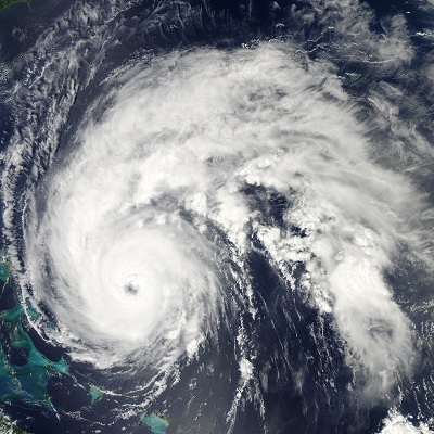
Irene will continue to be a large storm but will continue to weaken and may be just barely hurricane strength when it reaches us. While we could see a few showers around the area this afternoon, the outer rain bands from Irene probably won’t reach us until tonight and winds will begin to pick up to the 30-40mph range overnight as well. Winds will increase rapidly Sunday morning and may reach gusts over 80 mph … nothing to sneeze at even with Irene’s less intense condition. The wind will then diminish Sunday afternoon and night. Rainfall is still expected to be heaviest over New York and Western New England, in the 5-10 inch range. We should see heavy, squally rains that may amount to 2-4 inches. High tide tomorrow is around 7-8 in the morning so we should see dangerously high surf along will potential severe coastal flooding due to the storm surge. Conditions should begin to relax somewhat through the afternoon and most of Irene’s wind and rain will be gone Sunday night.
Do not be lulled into complacency by the fact that Irene is now “only” a Category 1 hurricane. The storm can still do much damage and should be respected for what it can do. More updates will be coming through the day.