

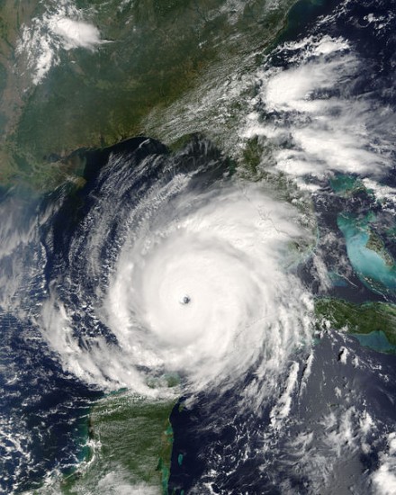
Tropical Storm Irene ... Sunday Noon Update
John Ghiorse, GoLocalProv Meteorologist
Tropical Storm Irene ... Sunday Noon Update
While Irene has not intensified significantly during the past few hours, the environment continues to be favorable for strengthening to hurricane strength in the next day or so. However, down the road it will have to contend with mountainous islands, particularly Hispaniola, and that may affect its intensity to a degree that is as yet uncertain.
Many of the weather computer “model” predictions bring the storm close to if not into Florida sometime later this week however, as we all know, hurricane track predictions that far in advance are often unable to pinpoint the track exactly and sometimes are very far off the mark. So, all of us along the East coast need to follow the progress of Irene carefully. I will have frequent updates this week and, of course, you can follow the storm with our super Stormpulse Hurricane Tracker … https://www.golocalprov.com/index.php/weather/ .