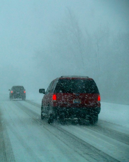
THURS AM WEATHER UPDATE: High Winds + Heavy Snow In RI Later Today
John Ghiorse, GoLocalProv Meteorologist
THURS AM WEATHER UPDATE: High Winds + Heavy Snow In RI Later Today

Heaviest accumulations
The storm center has intensified well offshore about 350 miles south of Rhode Island, so we will continue to be right on the northern fringe of its heavy precipitation as it trundles slowly northeastward. It still looks like the heaviest snow will accumulate over Worcester County Massachusetts and the higher elevations of Providence County in Rhode Island where at least 6” are likely but probably coming up short of a foot.
The bulk of the heavy, wet snow should fall from later today into Friday morning. Because of temperatures marginally near or just above freezing accumulations will taper and diminish toward the coast. When all is said and done there will be around 4”-6” of heavy, wet slushy snow in the greater Providence area. The dividing line between snow and rain will waver across Southeastern Massachusetts and Cape Cod.
GET THE LATEST BREAKING NEWS HERE -- SIGN UP FOR GOLOCAL FREE DAILY EBLASTHigh wind warnings
Warnings are still up for strong, gusty northeast winds of 25-50mph with higher gusts. That in conjunction with the heavy, wet snow could cause numerous power outages. The coasts of Massachusetts and Rhode Island should take another beating with moderate to heavy coastal flooding and beach erosion likely.

