

HURRICANE UPDATE MONDAY EVE: Ghiorse Says More High Winds, Flooding
John Ghiorse, GoLocalProv Meterologist
HURRICANE UPDATE MONDAY EVE: Ghiorse Says More High Winds, Flooding
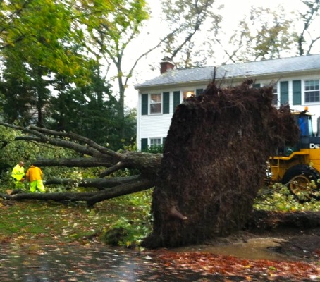
For Rhode Island: more dangerous high winds, major flooding
The worst part of the wind from the storm for us will continue until later this evening then diminish. East to southeast winds will gust over 50 mph with a few gusts to 65-75 mph for a while longer especially near the coast and over higher terrain inland. The coast and Narragansett Bay communities will continue to experience the worst of Sandy locally with major flooding and destructive wave damage. A coastal surge of 4-6 feet over mean high water this evening as high tide approaches will lower slowly after the 8-9pm high tide. That surge could reach 5-7 feet in the upper portion of Narragansett Bay. As indicated earlier, there will be bands of heavy rain moving through the area but river and stream flooding is not expected to be a big problem.
Heading into tonight
The storm will diminish after midnight but gusty winds and scattered showery periods could persist into Wednesday. For an overview of Sandy in real time, go to GoLocal's Stormpulse map, here.
GET THE LATEST BREAKING NEWS HERE -- SIGN UP FOR GOLOCAL FREE DAILY EBLAST