

RI Could “Restrict Access” on Bridges on Wednesday - Rain in Forecast, Wind Advisory Issued
GoLocalProv News Team
RI Could “Restrict Access” on Bridges on Wednesday - Rain in Forecast, Wind Advisory Issued
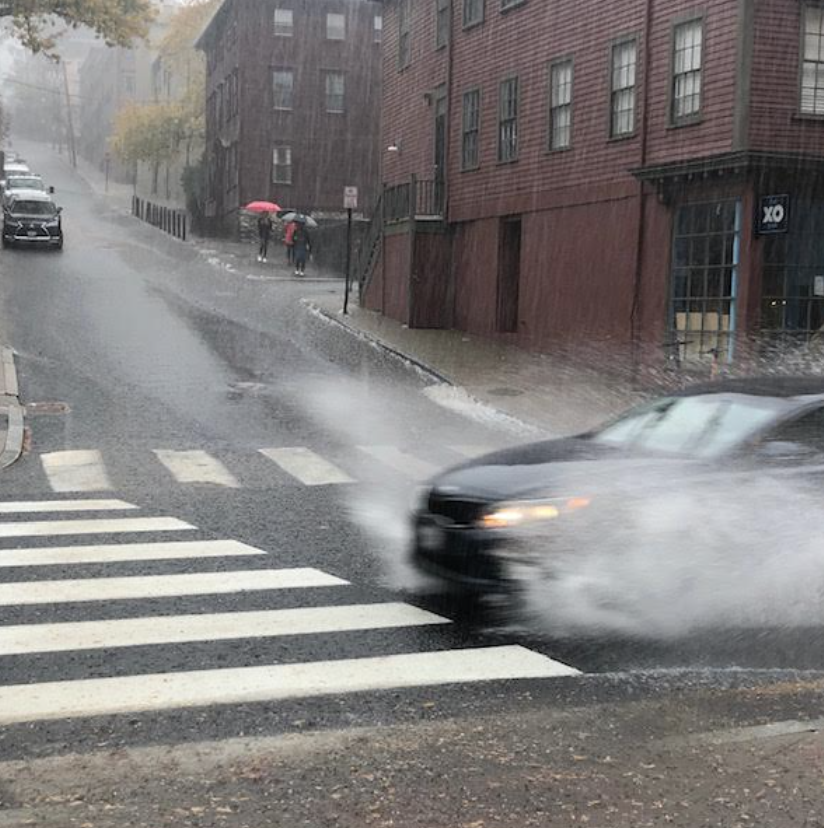
The Rhode Island Turnpike and Bridge Authority (RITBA) said Tuesday that it "anticipates that it may need to restrict access to some or all of its bridges [Wednesday] afternoon and evening due to high winds."
The highest winds are expected between 2 PM and 8 PM on Wednesday.
GET THE LATEST BREAKING NEWS HERE -- SIGN UP FOR GOLOCAL FREE DAILY EBLASTUpdates on bridge conditions and closures will be posted on ritba.org.
NWS Forecast
The following is the NWS forecast for Providence and surrounding areas as of Tuesday 6 PM.
Wednesday
Rain and possibly a thunderstorm. Patchy fog. High near 61. Breezy, with a south wind 10 to 15 mph increasing to 17 to 22 mph in the afternoon. Winds could gust as high as 44 mph. Chance of precipitation is 100%. New rainfall amounts between 1 and 2 inches possible.
Wednesday Night
Rain and possibly a thunderstorm before 1am, then a slight chance of rain between 1am and 3am. Some of the storms could produce heavy rainfall. Patchy fog before midnight. Low around 35. Breezy, with a south wind 18 to 23 mph becoming northwest 10 to 15 mph after midnight. Winds could gust as high as 55 mph. Chance of precipitation is 100%. New precipitation amounts between 1 and 2 inches possible.
Thursday
Sunny, with a high near 41. West wind 9 to 14 mph, with gusts as high as 24 mph.
Thursday Night
Mostly clear, with a low around 22. West wind around 7 mph.