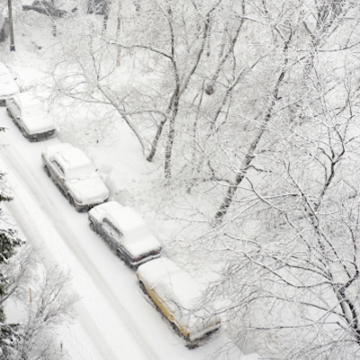
NEW: More Snow Expected in RI This Weekend
John Ghiorse, GoLocalProv Meteorlogist
NEW: More Snow Expected in RI This Weekend

What does it mean for us? Well, for starters, more snow with perhaps a bit of rain at the start especially over the Cape and Islands but it should be a snowstorm for about all of us with heaviest amounts form Rhode Island into Eastern Massachusetts and perhaps the Cape. Central and Western new England should see less snow from this storm.
It's likely to start snowing sometime tomorrow afternoon, become heaviest at night and wind down by early Sunday. Earliest estimates are for 6 inches or more from Rhode Island eastward through Massachusetts and for less than 6 inches from Rhode Island westward but that could change once I see just where the storm center forms early tomorrow.
GET THE LATEST BREAKING NEWS HERE -- SIGN UP FOR GOLOCAL FREE DAILY EBLAST


