

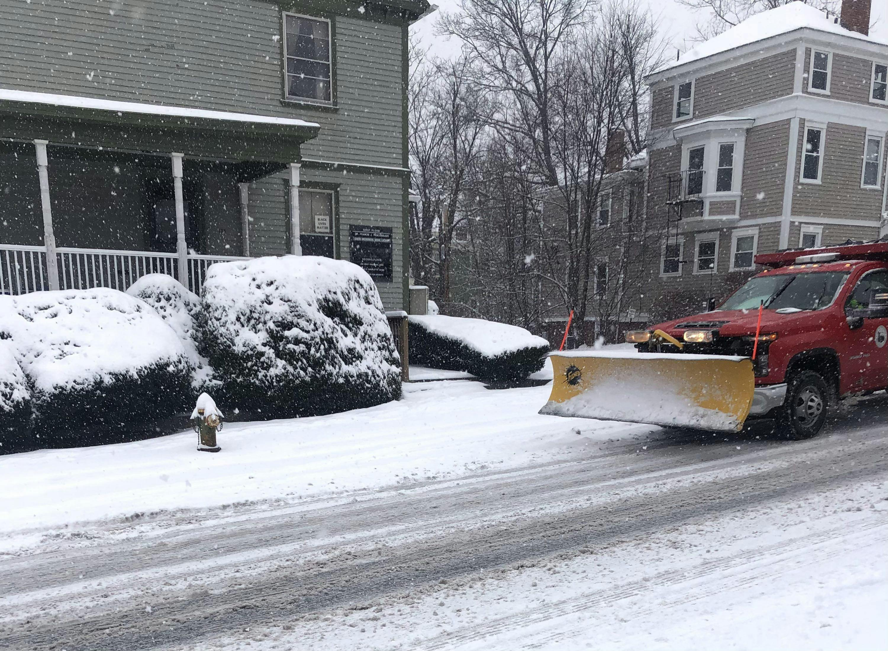
More Snow Coming This Week - National Weather Service
GoLocalProv
More Snow Coming This Week - National Weather Service
Tuesday
Increasing clouds, with a high near 34. Calm wind becoming southwest at 5 to 8 mph in the morning.
Tuesday Night
There is a slight chance of snow after midnight. Cloudy, with a low of around 22. Light and variable wind. The chance of precipitation is 20%.
Wednesday
A slight chance of snow after 9 am. Mostly cloudy, with a high near 34. Northeast wind 5 to 9 mph. The chance of precipitation is 20%.
Wednesday Night
Snow before 3 am, then snow and sleet between 3 am and 5 am, then snow, freezing rain, and sleet after 5 am. Patchy fog after 11 pm. Low around 27. East wind 5 to 7 mph. The chance of precipitation is 90%. New snow and sleet accumulation of 1 to 3 inches is possible.
Thursday
Freezing rain and sleet before 8 am, then rain. Patchy fog between 9 am and 1 pm. Patchy freezing fog before 9 am. High near 42. East wind around 7 mph becoming west in the afternoon. The chance of precipitation is 90%. Little or no sleet accumulation is expected.
Thursday Night
Partly cloudy, with a low around 21. West wind 7 to 10 mph.
Friday
Sunny, with a high near 31. Northwest wind 10 to 14 mph, with gusts as high as 24 mph.
Friday Night
Partly cloudy, with a low of around 15. Northwest wind around 6 mph becoming calm in the evening.
Saturday
A chance of snow after 1 pm. Mostly cloudy, with a high near 38. Calm wind becoming south 5 to 7 mph in the afternoon. The chance of precipitation is 50%.
Saturday Night
Rain and snow. Low around 30. South wind 3 to 6 mph. The chance of precipitation is 90%.
Sunday
Rain, possibly mixed with snow. High near 43. South wind 8 to 11 mph, becoming north in the afternoon. The chance of precipitation is 100%.
Sunday Night
Rain and snow are likely. Mostly cloudy, with a low around 17. Northwest wind 8 to 10 mph, with gusts as high as 20 mph. The chance of precipitation is 70%.